
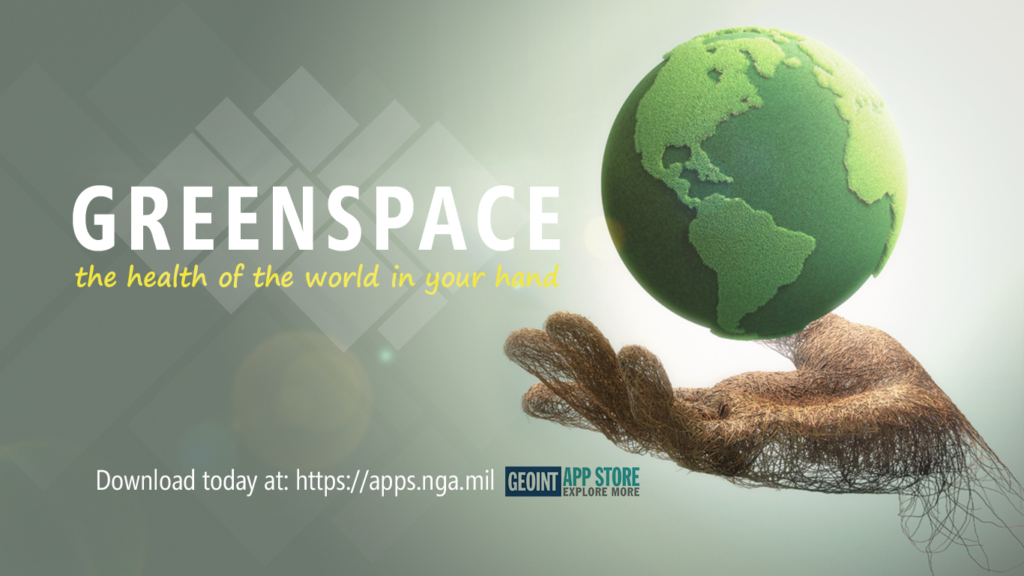
GreenSpace™, a mobile app developed by Optensity, is now available in the GEOINT App Store.
The GreenSpace app allows users to designate an area of interest by marking a region on a Google maps interface. Once they specify a region, the user can request one or more spectral indices that show the health and water content of the vegetation in the region of interest as well as the presence of standing water. The app then obtains the most recent image of the region from Landsat 8, processes the image using Harris Corporation’s ENVI services engine to extract the spectral indices that are requested and returns the resulting spectral index images to the user.
The app aids foresters and wildfire fighters responding to fires or looking at arid land for potential fires. The user can quickly determine where fires are likely to spread and where defensible lines can be established or what areas under cultivation are likely lost to drought. As well the app assists humanitarian workers who need to understand a potential food crisis with its ability to determine the health and water content of agricultural croplands and vegetation health in a geographic region of interest. It can also assist Emergency Management workers assessing flood conditions and standing water through use of the Modified Normalized Difference Water index.
This app provides on demand access to image analytics to users without requiring them to be able to use image processing software. The app is targeting first responders, providers of humanitarian assistance and intelligence analysts who need to know the health and water content of vegetation and standing water in a region.
Get it today for iOS and Android.
Author: optensity
Similar Posts

Comments are closed.